01
3D for real estate
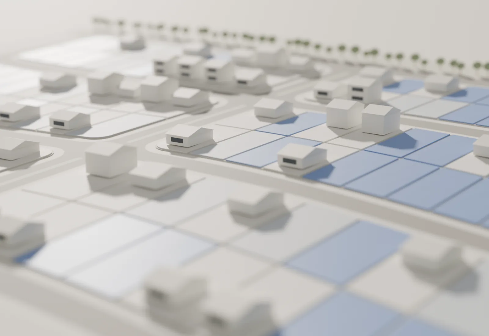
Open demoFor land developers, property developers and estate agencies. From your drawing we make the interactive sales map (the lot or unit map a buyer opens on their phone, with status, price and WhatsApp on each one), the digital scale model of the development, aerial images and rendered floor plans for listings, brochures and social media.
What you get
- A sales map in the browser, with lot or unit status updated from your spreadsheet
- A 3D digital scale model of the development
- Photoreal aerial images
- Rendered floor plans
- Files ready for the web, social media and print
What we need from you
- The design as DWG, DXF or PDF
- The spreadsheet with the status of each lot or unit
- Logo, contacts and sales rules
- The registration number of the subdivision or development, the registry office and the CRECI of whoever advertises, for the sales map footer
Steps
- 01We receive the design and the spreadsheet
- 02Model and first image for your approval
- 03Changes agreed in writing
- 04Files delivered and the sales map published
The timeline comes in the plan, together with the price.
Starting prices
- Sales map, up to about 120 lots
- from R$ 5,500including 1 year of hosting; then R$ 390/month
- Photoreal aerial image
- from R$ 3,500per view; a set of 4 views from R$ 12,000
- Interactive digital scale model
- from R$ 18,000including 1 year of hosting; then R$ 590/month
- Rendered floor plan
- from R$ 6,000per plan
Starting prices, in Brazilian reais. The final price depends on the size of the job and comes in the written plan, before we start.